


Recently, while playing competitive team trivia, we missed a “World Geography” question. The question was: what country comes between the Czech Republic and Slovakia? The answer was Austria, though we answered Croatia and got it wrong. When I got home, I unfolded my Rand McNally World Map and studied it. Croatia is in the general vicinity of Slovakia, but they don’t share a border. Hungary is between Croatia and Slovakia. Croatia has a long coast on the Adriatic Sea, if anyone wants to know.

In my previous home office, I taped the World Map to the wall and studied it often. I retained only rudimentary knowledge, though contemplating the map was a pleasure. Before GPS, we purchased a Rand McNally Road Atlas every year and used it to navigate our many travels east of the Mississippi. We always kept a Road Atlas in the car. More than once, we used the Atlas to plot a detour when accidents or major construction shut an interstate down. I was usually the navigator while my husband was the driver. Reading the map was a skill I took pride in, and possibly one in decline with the technology at my fingertips, which is too bad. When I was a kid, gas stations used to give away Rand McNally state maps to travelers who stopped to fill up their tanks. My parents stuffed the maps willy nilly in our station wagon’s glove box, never refolded correctly.
I hung the Rand McNally World Map in my office on the recommendation of a friend who said I could learn the world’s countries by drawing them, in effect copying the map. Tactile effort to aid and abet memory, though I never got around to that. The best I could do was imagine the countries had shapes, like finding dragons and whales in clouds. The Saudi Arabian Peninsula is shaped like a snow boot, with Yemen for its heel and Oman for its toe.
I once took a course in “African Politics,” that required students to pass a “map test.” We had to fill in a blank map of the Africa continent with the names of all fifty-five countries and score 80% or better in order to pass the course. (There were fifty-five countries in 1998; currently, there are fifty-four.) I probably remember about a third of the countries’ names and shapes. One fact I took away from the map test was that no one should make a blanket statement about “Africa.” The continent’s singular name will never do justice to the cultural plurality possible in fifty-four countries on eleven million square miles.
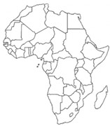
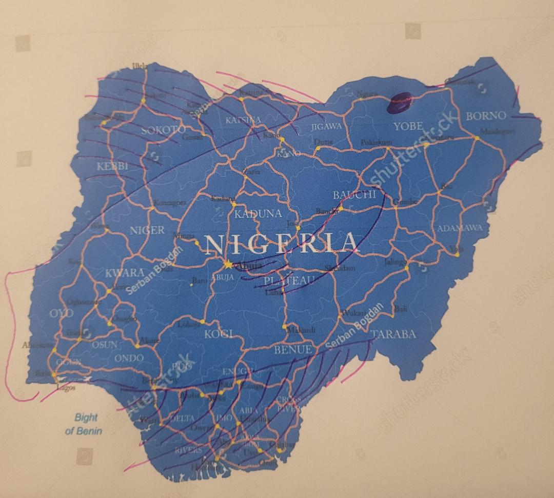
Nigeria is the fourth wealthiest country in Africa. Its cloud shape is a fat fish with pursed lips, and I know exactly where it is on the map. Nigeria is home to eighteen billionaires, though 40% of its citizens live below the poverty line. Development is concentrated in urban areas, like Lagos, the capital, with a population of twenty million people.
Over a million Nigerians and Nigerian Americans live, study, and work in the U.S., so it’s not surprising that I’ve met a few. My mother’s V.A. visiting home nurse is from Nigeria and in the U.S. on a worker’s visa. In Texas where my mother lives, at least half the state prison guards are Nigerians. I’ve met Nigerians at university, mostly advisees during my tenure as international student advisor. I’ve read Americanah by Chimamanda Ngozi Adichie, an author I respect, and who hasn’t read Things Fall Apart? This doesn’t make me an expert on Nigeria, no more than I am on America. It was my friend, Fernanda, a Ghanaian American who I met in New Orleans, who pointed out to me that voting rights did not extend to all women when the 19th Amendment passed. Black women did not universally have the right to vote in the U.S. until the Voting Rights Bill of 1965, which hasn’t had its 100th anniversary yet.
I grew up on Rand McNally maps, though over the years, I’ve encountered others. My favorite old map is of Virginia, drawn by John Smith and published in 1612. There’s so much going on with the map! Not only does it feature a drawing of Powhatan, local Native American chief, it also inscribes a densely populated landscape of rivers, woods, and hills with hundreds of place names, and calls Chesapeake Bay the Virginian Sea. Each little tree is different. There’s a ship with lowered sails in the harbor, and a royal seal centered at the top. I think if I were stranded on a desert island, Smith’s map of Virginia could keep me occupied for years.

In a former life, I might have been a cartographer. When my children were young and bored one long ago summer, we set out to map our house and yard using a measuring tape, some rocks, and sticks. I think I enjoyed the activity more than the children. I still have the journal and the map I drew that day. You could call me a cartophile.
Categories: Living, Suzanne's Voice
